Scene and layout reference
Laser bird deterrent for rice fields
Discourage birds from settling in your fields.
525nm green laser with area scanning, for assessed rice fields, orchards and fish ponds. Choose a fixed, sweeping or keyboard-controlled configuration for your site.
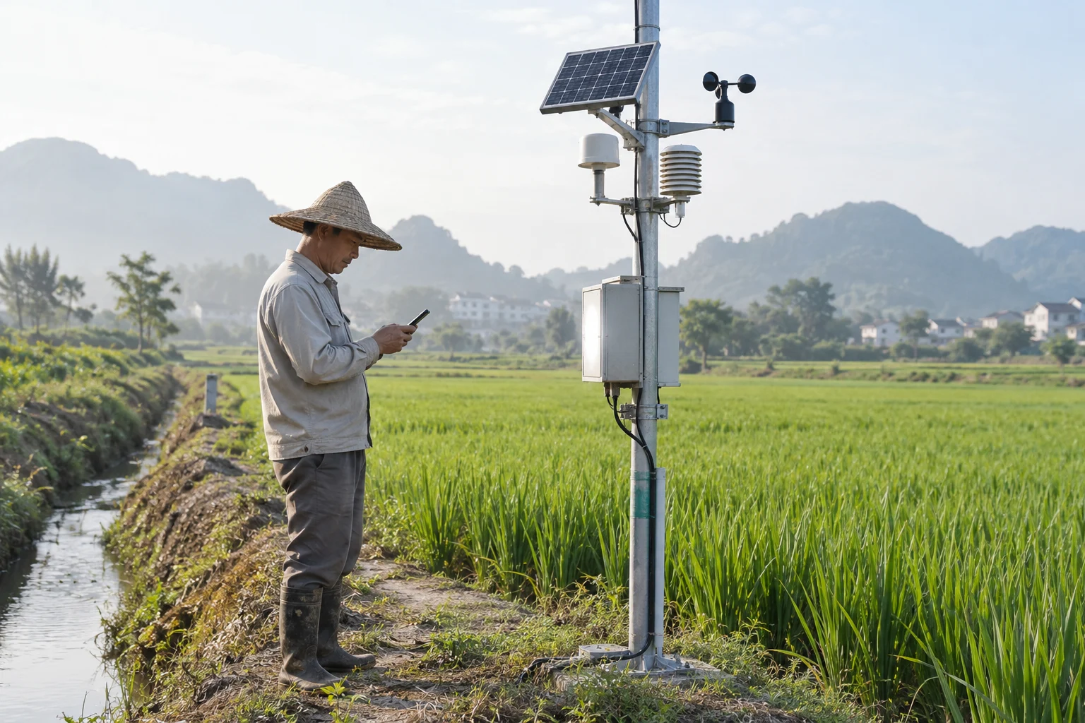
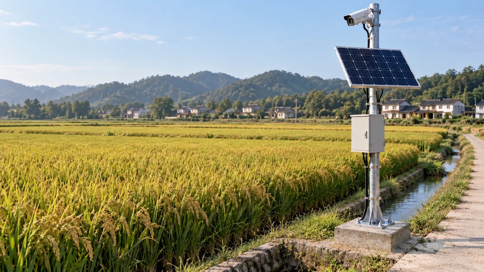
See how the equipment fits into the field.
Field pole installation
Orchard and field-edge placement
Identify the birds before setting priorities.
Sparrows
Eat seeds and grain as well as insects. During rice ripening, observe where and when flocks feed.
Pigeons
Often feed on seeds and spilled grain on the ground. Check grain-spill areas and nearby regular gathering places.
Mynas
Identify the local species and flocking pattern. Record landing points and return frequency before deciding on area deterrence.
Magpies
Omnivorous birds. Presence at a field edge alone does not establish damage; assess actual feeding and losses.
Birds also have ecological value. These images support identification and site observation; they do not promise deterrence for every species. Confirm target species and results on site.
Solar-powered AI bird detection and deterrence
Solar and battery power, a Hikvision camera and ZUAD edge AI work with a matched interface to activate bird deterrence.
Primary design: fixed field-edge pole
A fixed field-edge station for long-term monitoring.
- 01Camera input
- 02AI bird detection
- 03Control interface
- 04Area deterrence
- 05Event records
Six components. One control chain.
Relocate between plots.
For seasonal moves or multiple plots, choose a semi-mobile base or trailer. Operate deterrence only when securely stationary.
Explore mobile deployment optionsMatch and commission the deterrent control interface; include AC conversion and site protection in power design.
Three configurations for different field layouts.
01
Fixed unit
A stationary beam aimed in one direction. No automatic scanning.
02
Sweeping unit
Motorized horizontal back-and-forth scanning with an adjustable angle, up to 350°.
03
Keyboard-controlled unit
Keyboard and joystick for programmed paths or manual control. Supported configuration: up to 2 groups of 16 waypoints each.
Scan the crop area. Exclude roads and occupied areas.
Rice growing area
Keep scanning within the crop area.
Set scanning around field boundaries and bird activity, excluding roads, field paths and areas occupied by people.
Select power for your site conditions.
Reference projection distance
Reference projection distance
Reference projection distance
300 / 600 / 900m are source reference projection distances, not effective deterrence radii or coverage areas. Sunlight, air quality and beam divergence affect visibility; daytime reach is usually shorter. Verify on site.
Technical specifications
Laser output power1 / 2 / 3 W
Laser wavelength525 nm
Horizontal scan range (sweeping unit)≤ 350°
Exit beam diameter / divergence15 mm / < 0.7 mrad
Power inputAC 100–250 V · 50/60 Hz
Reference unit consumption30–50 W
Reference body dimensions / weight125 × 240 × 95 mm · 2.6–3.2 kg
Ingress protectionIP65
Nominal laser service life> 10,000 h
Power / synchronization ports24 mm / 18 mm
Complete assembly dimensions, weight and consumption depend on the mount and controller; confirm the selected configuration.
Assess, install and verify in the field.
Installation reference
Assess, install and verify in the field.
Confirm power, secure mounting, grounding and protection. Set scan boundaries and an operating schedule, then observe bird activity and adjust on site.
On-device programs & synchronization
On-device programs and a dedicated synchronization interface. Any network control through the agriculture cloud requires separate integration assessment and is not a standard feature.
Operating environment
Nominal ambient range: -30 to 40°C; the operating guide recommends -10 to 30°C for the laser. Confirm suitability at temperature extremes. IP65 does not permit immersion.
Operation & maintenance
Continuous operation beyond 10 hours is not recommended. Avoid frequent power cycling, shocks and unauthorized disassembly. Stop on abnormal behavior and arrange professional inspection.
Scan boundaries & laser protection
Have a professional confirm laser classification, protective measures and local requirements. Never aim at eyes, vehicles or aircraft. Do not view the beam through binoculars; restrict access to scanning areas.